The reverse local fault movement in Bintuni was caused by the Indonesia-Australia shelf ..."Sorong (ANTARA News) - An aftershock measuring 4.8 on the Richter Scale jolted Bintuni District in West Papua Province on Wednesday at 13.30 East Indonesia Standard Time (GMT+9).
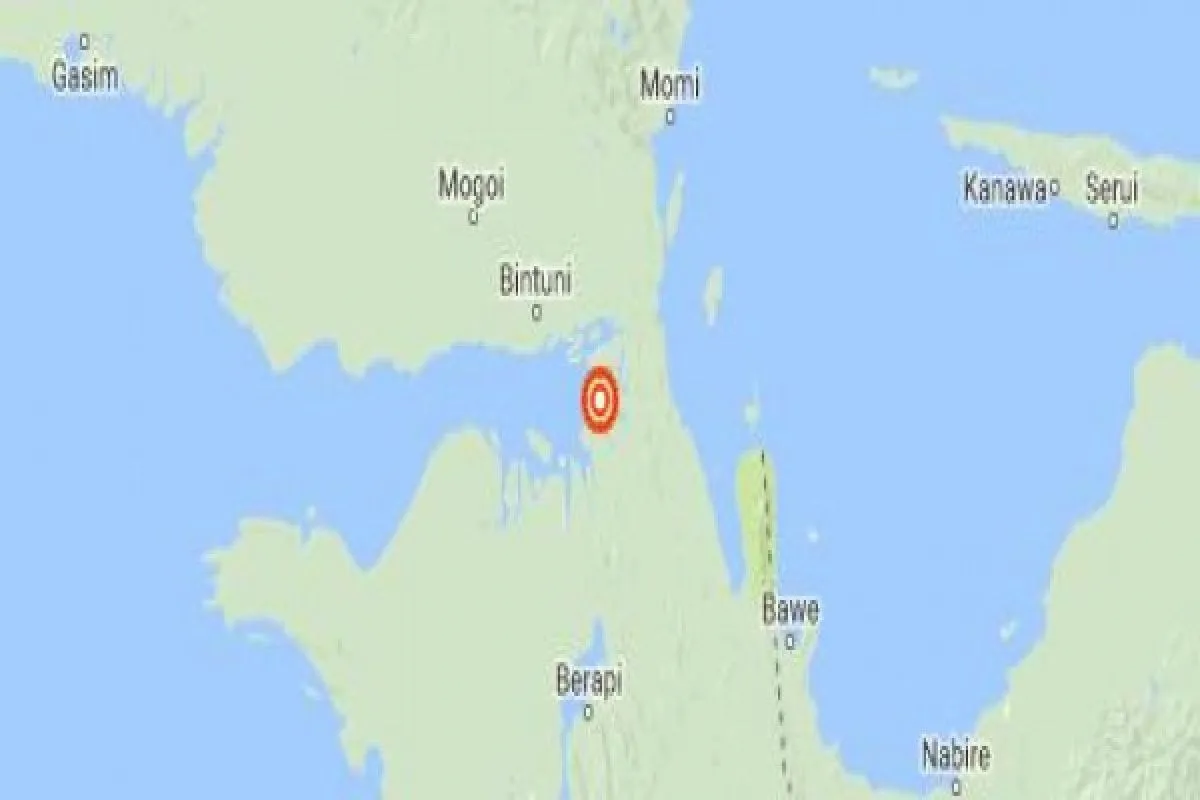
Head of Meteorology Climatology and Geophysics of Sorong Andri Wijaya stated here on Wednesday that the epicenter of the earthquake was located at 2.19 degrees Southern Latitude and 133.87 degrees Eastern Longitude, or 37 km southeast of Bintuni District at a depth of 10 km.
Panic-stricken people rushed out of their homes after the aftershock struck the district, which is located on the Bird Head Peninsula of Papua Island.
"We felt the first temblor earlier this morning at around 08.00, and an the second one jolted at around 13.00," a resident of Bintuni, Andreas, said.
The agency added that the aftershock was categorized as a shallow earthquake, due to the reverse local fault movement and it having no tsunami potential.
"The reverse local fault movement in Bintuni was caused by the Indonesia-Australia shelf, which meets up with the Eurasia and Pacific shelf. The meeting of three continental shelves has triggered a reverse local fault movement around Bintuni that caused the earthquake," Wijaya said.
Previously, an earthquake measuring 5.4 on the Richter scale jolted the district of Bintuni Bay in West Papua province at 6.29 East Indonesia Standard Time (WIT) on the same day.
The epicenter of the earthquake was recorded at the 2.26 degrees Southern Latitude and 133.86 degrees Eastern Longitude at a depth of 10 kilometers, and some 70 kilometers southeast of Bintuni Bay district.
Indonesias more than 17 thousand islands are scattered along a belt of volcanic and seismic activity known as the Pacific "Ring of Fire", and the area is one of the most quake-prone places on earth.
Reporting by Ernes B. Kakisina/Uu.A059/INE/KR-BSR/O001)
Editor: Priyambodo RH
Copyright © ANTARA 2016


