"So, in preparation of spatial layout, the things that become indications are locations that should not be earmarked for other purposes namely the protected forest areas. Meanwhile, the limited production forest areas may be off based on the ministerial consent," he added.
He noted the forest area in Landak district reaches 300,000 hectares consisting of national park covering 55,000 hectares, nature reserve area covering over three hectares, protected forest covering an area of ​​53.3 hectares, protected peat forest reaching ​​1.6 hectares, limited production forest covering ​​139.7 hectares and conversion production forest covering ​​15.9 hectares.
"The data are based on Forestry Minister Decree No.259/Kpts-II/2000 23 August 2000 on the map of forest land and waters of West Kalimantan province," Vincent noted.
Earlier, the secretary of Landak district, Ludis stated, the protected and cultivation forests in the district changed their functions.
From the existing data, the protected forest area covering ​​71,000 hectares in 2000 reduced to about 50,000 hectares in 2007.
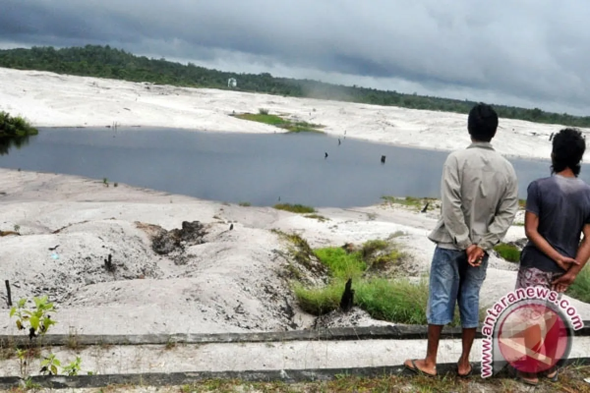
"So, the protected forests should be maintained as they are very important not only for people in Landak but also those in the world because they are concerned about the forests which are related with the fresh air and water reserves," Ludis said.
He said the protected forests in Landak district spread over in several areas namely in Pare and Sepangah village, Air Besar sub district where Mount Niut as a national park is found.
The protected forests are also found in Tiang Tanjung village, Mempawah Hulu sub district, in Keranji Paidang village, Sengah sub district and in Sebangki sub district.
(T.KR-LWA/B005)
Editor: Priyambodo RH
Copyright © ANTARA 2011


