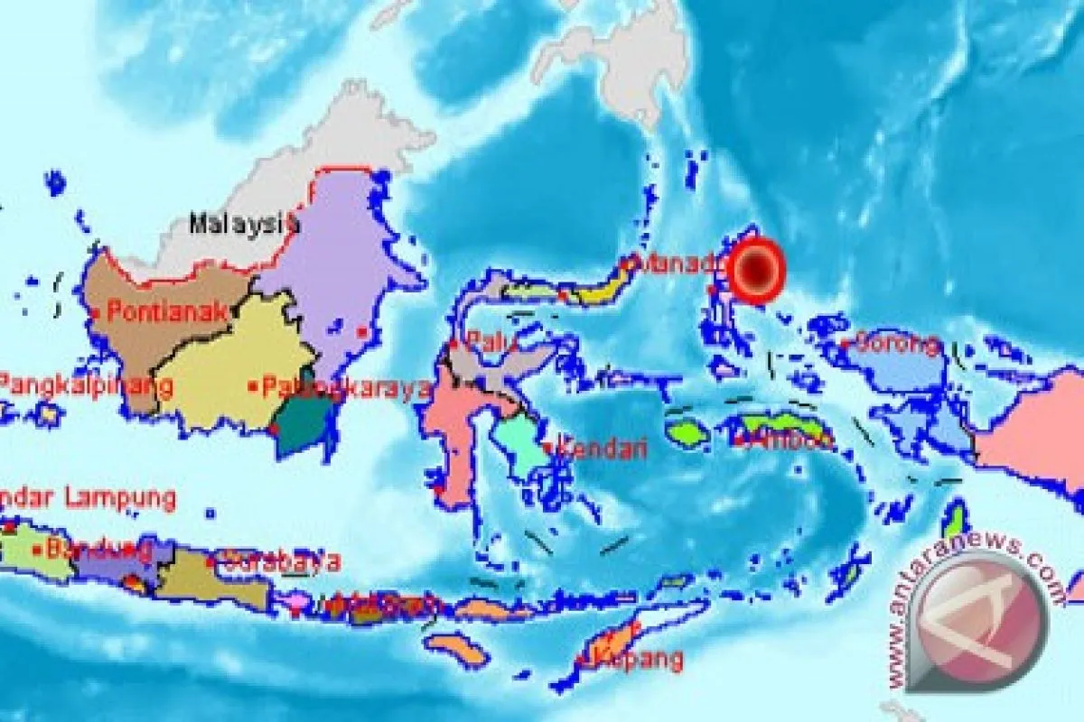
The quake`s epicenter was located at 2.14 degrees northern latitude, 128.30 degrees eastern longitude, and at a depth of 19 km below sea level.
The temblor was also located 183 km northeast of Ternate, 272 km southeast of Melonguane (North Sulawesi), and 322 km northeast of Labuha (North Maluku).
As a country located in the Pacific Ocean`s "Ring of Fire" of volcanoes and earthquakes, Indonesia is one of the world`s most disaster-prone countries.
One of the worst disasters hitting Indonesia in modern history was the deadly tsunami which devastated Aceh Province and Nias Island (North Sumatra Province) on December 26, 2004, which killed around 200,000 people and rendered about one million others homeless.
Earlier. in the wee hours of Monday, a magnitude-5.5 earthquake jolted Meulaboh, Aceh Province.
The quake`s epicenter was located at 4.45 degrees northern latitude and 96.39 degrees eastern longitude, and at a depth of 45 km, the Aceh meteorological, climatology and geophysics agency (BMKG) said.
A number of residents of Ujong Kalak village, Meulaboh, rushed out of their houses in panic when they felt the temblor.
(Uu.F001/HAJM)
Editor: Priyambodo RH
Copyright © ANTARA 2012


